Visualizing Pleiades imports
I've just completed the first round of data imports into Pleiades. We've passed the 25,000 milestone and are moving on to improving the spatial indexing and visualization of the places and locations.
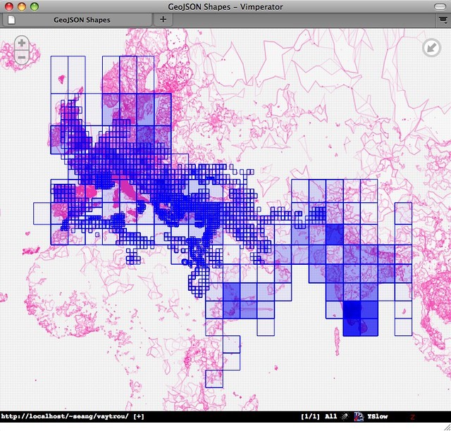
I'm experimenting with using Polymaps to see what we've imported, clustering by the grid cells of our map directory sources, and appreciating the simplicity of the Polymaps approach. I can see using it in the small maps that accompany each Pleiades place. A good "web-scale" basemap for the ancient world would be more appropriate than the Flickr tiles, but I'm enjoying the boundary-free geography of the Flickr layer. Like Pleiades and the R-Tree server I'm writing, Polymaps speaks GeoJSON, the little format that could.